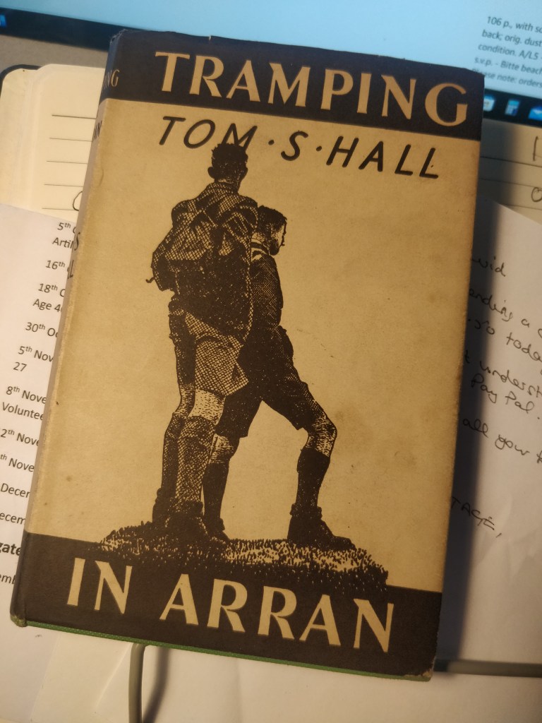
Falkirk The Wayfaring Association Second (revised) edition 1938 Book bound in Green Cloth there are no stamps, labels or inscriptions no foxing in vg+ (just short of fine) condition The dj is unclipped ( seems pricy at 3/6 in 1938) and again vg nearly vg+
The Price includes UK Posting and bespoke packaging
– For other postal rates to more far flung locations please contact me.
£6.50
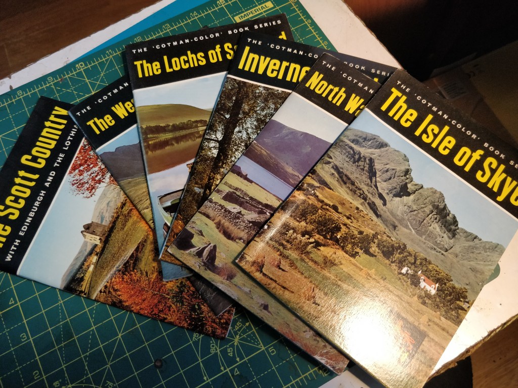
6 Cotman Colour Book Series. The Scott Country – The Western Islands – The Lochs of Scotland – Inverness-shire – North Wales in Colour – The Isle of Sky
Published by Jarrold in the mid 60’s all in fine condition the price is for all six posted to any UK address.
Bartholomew on paper but with only one very small nick (see photo) otherwise near fine.
Price includes UK Posting – For other postal rates to more distant locations please contact me.
£5.00
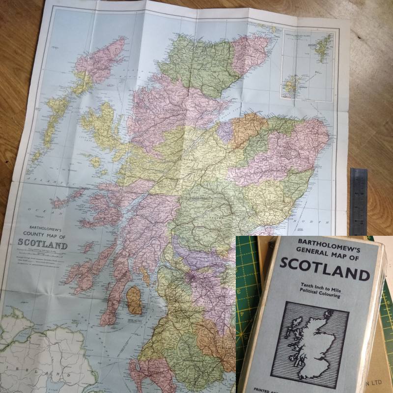
Bartholomew’s General Map of Scotland
1958 revision on cloth. Tenth Inch to Mile – Political Colouring – Pretty Dam near fine
Price includes UK Posting – For other postal rates to more distant locations please contact me.
£5.00
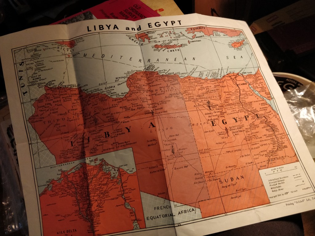
The Libyan Front
Special Map of the Libyan Front (Libya and Egypt
Copyright 1942 Tel-Aviv – Copyright by “Lila”
Price includes UK Posting – For other postal rates to more distant locations please contact me.
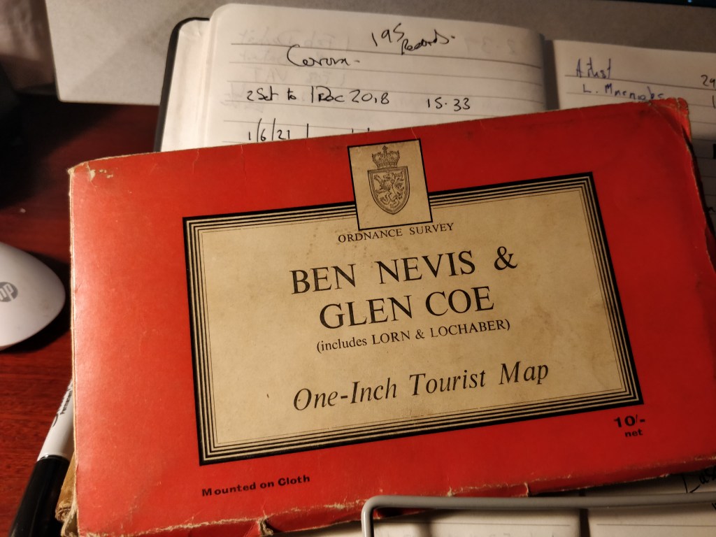
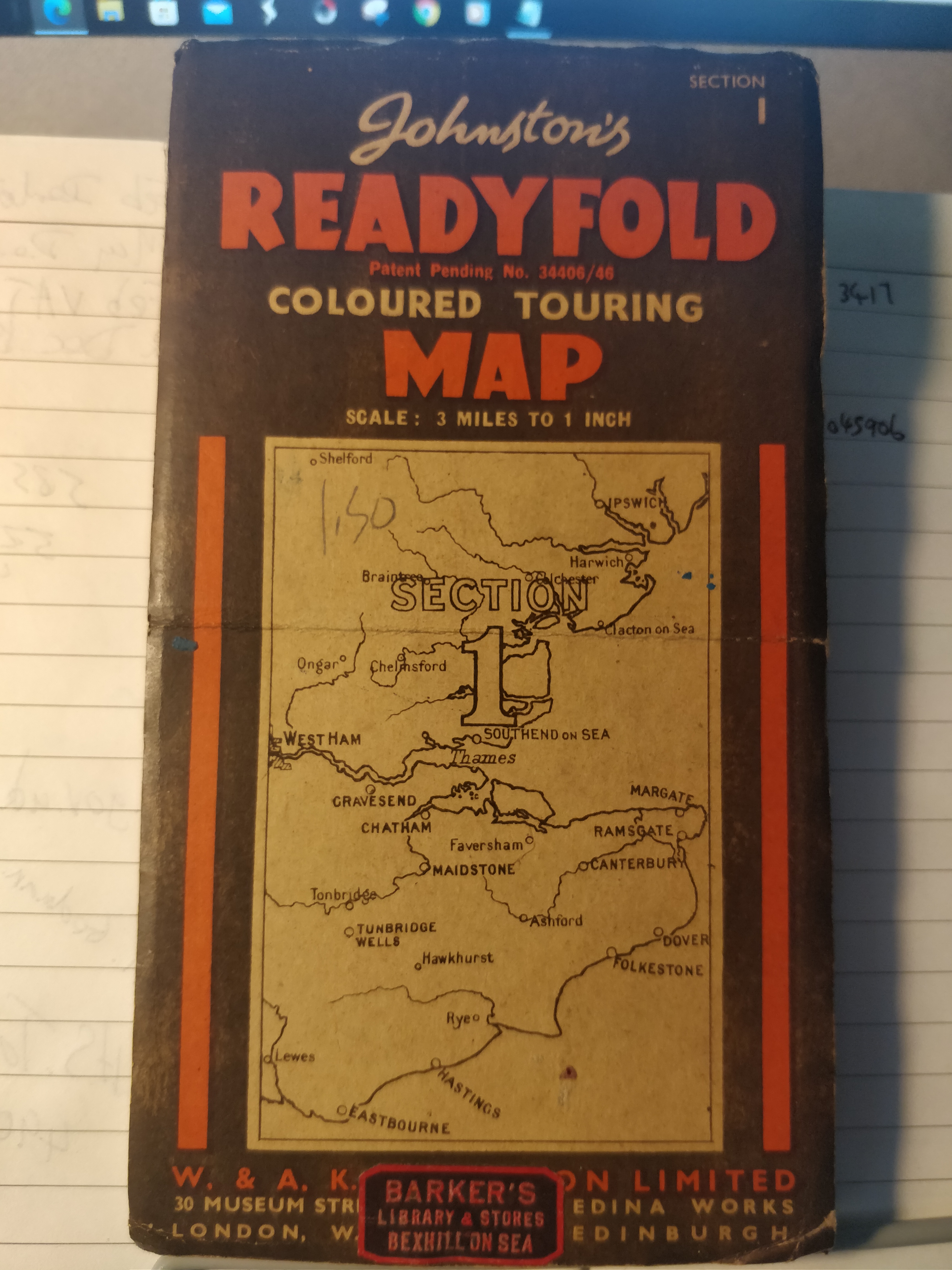
One-Inch Tourist Map – Mounted on Cloth 1959 with minor changes 1961
Price includes UK Posting – For other postal rates to more distant locations please contact me.
£4.00
Hawes
Ordnance Survey Sheet 20 – Hawes
1914 revision of 1904 Map on cloth vg Scale 1 inch to a Mile
Price includes UK Posting – For other postal rates to more distant locations please contact me.
£5.00
Ordnance Survey Sheet 84 – Bedford
Contoured Road Map of Bedford – Popular Edition Price 2/6 – one inch to one mile. Cloth. vg 1919
Price includes UK Posting – For other postal rates to more distant locations please contact me.
Paper Published 1961 Fully Revised 1958
Price includes UK Posting – For other postal rates to more distant locations please contact me.
I will apply a discount for simultaneous purchases, If I remember.
£4.00
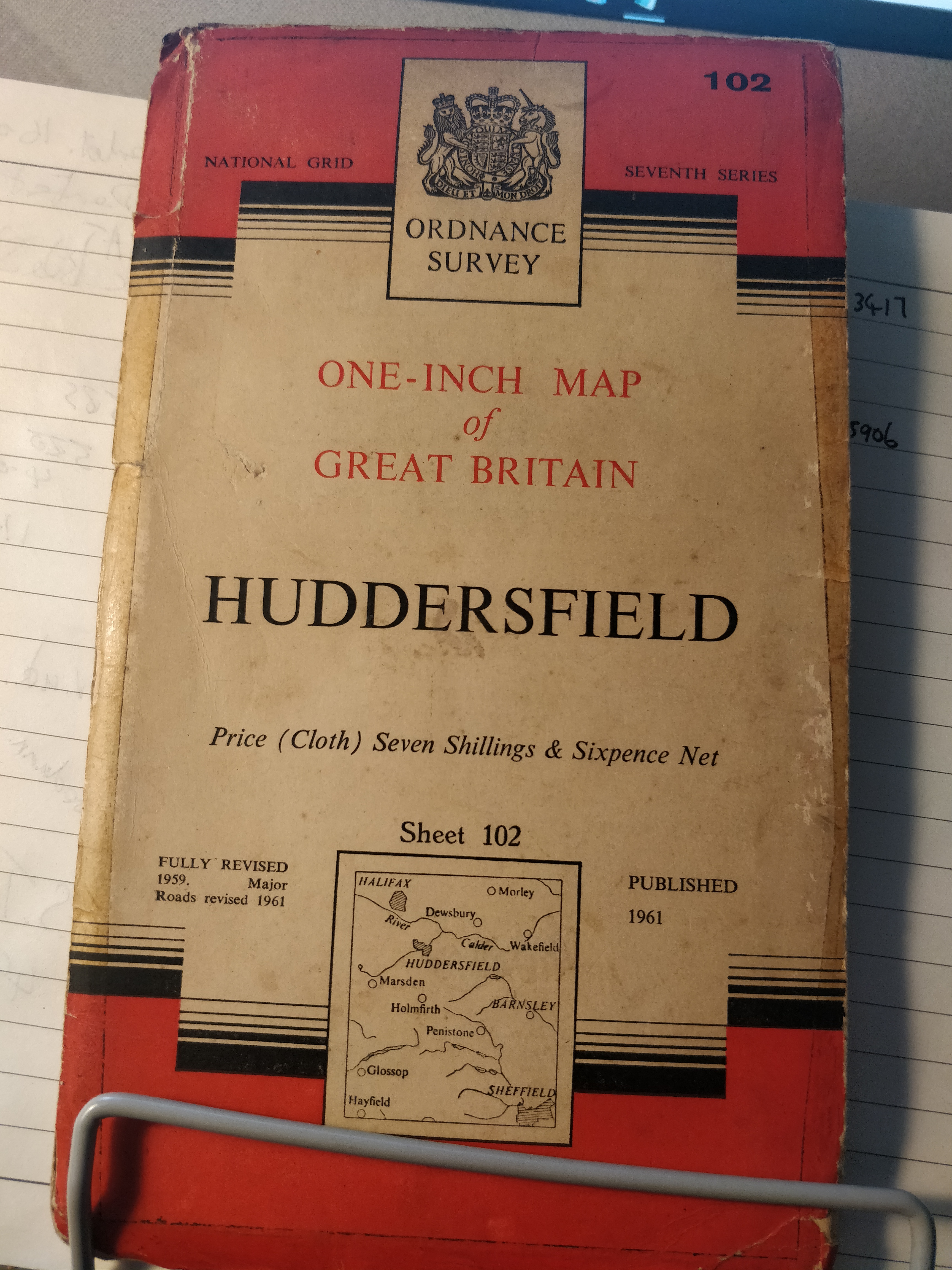
One-Inch Ordnance Survey – 102 – Huddersfield
First published 1947 – Paper
Price includes UK Posting – For other postal rates to more distant locations please contact me.
£4.00
One-Inch Ordnance Survey 102 Huddersfield
Cloth – Published 1961 – Fully revised 1959 Major Roads revised 1961 – a few pencil marks on map.
Price includes UK Posting – For other postal rates to more distant locations please contact me.
£4.00
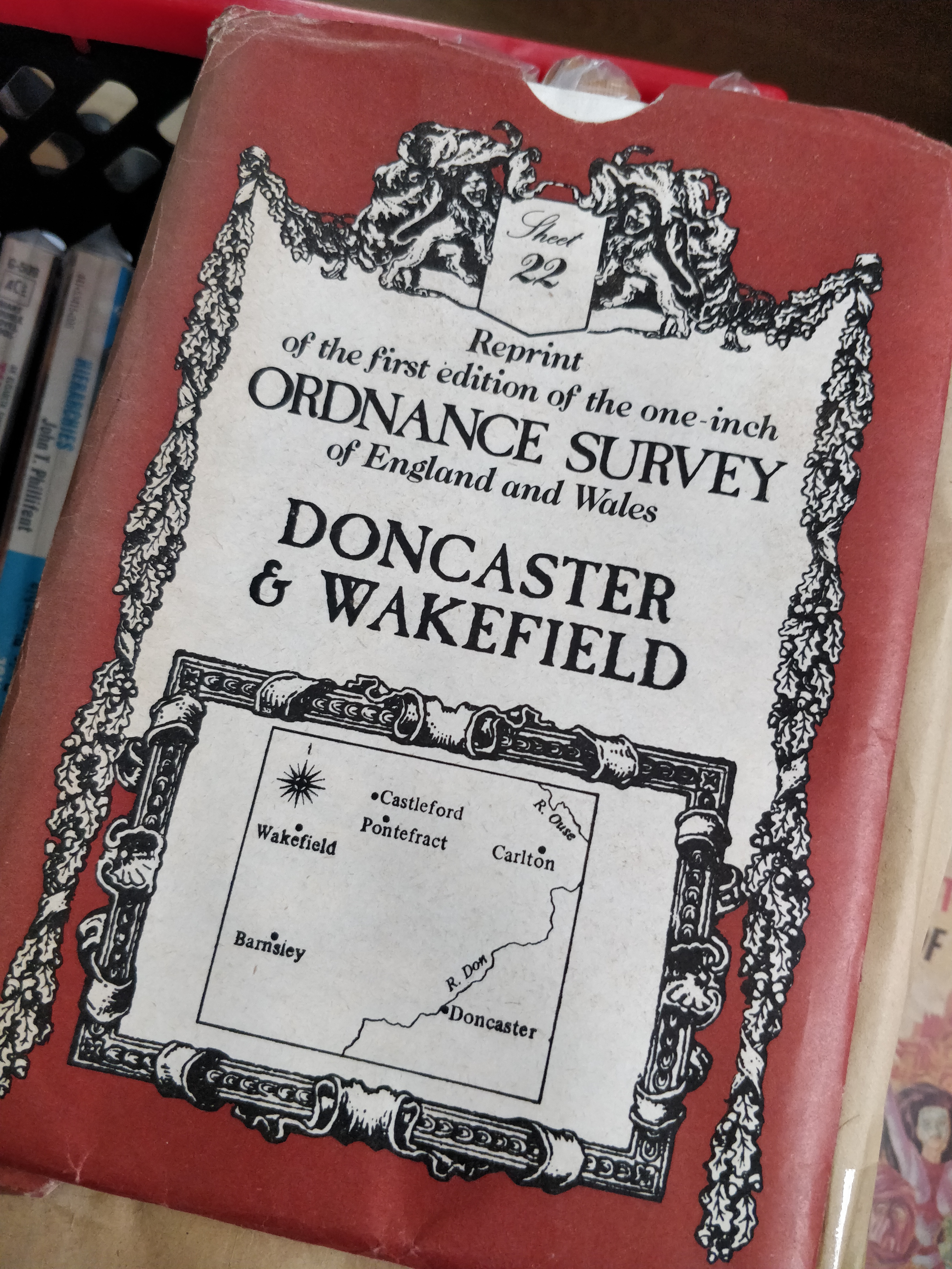
Sheet 22 Reprint of first one-inch OS Map – Doncaster and Wakefield
As it says in title
Price includes UK Posting – For other postal rates to more distant locations please contact me.
£5.00
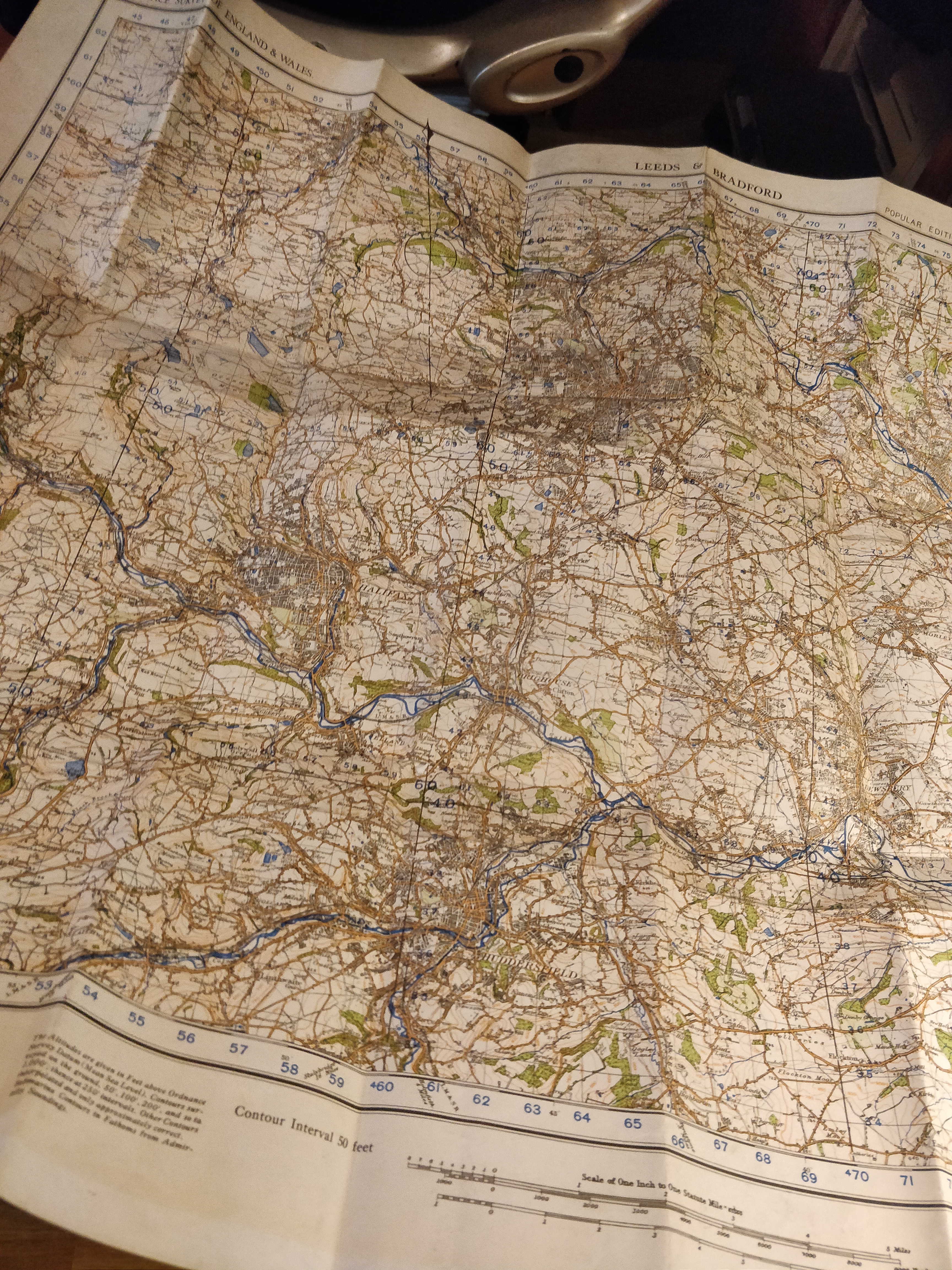
Ordnance Survey Sheet 31 – Leeds and Brafdford
Second War Revision 1940 1 inch to one mile on paper. no covers
Price includes UK Posting – For other postal rates to more distant locations please contact me.
£3.00
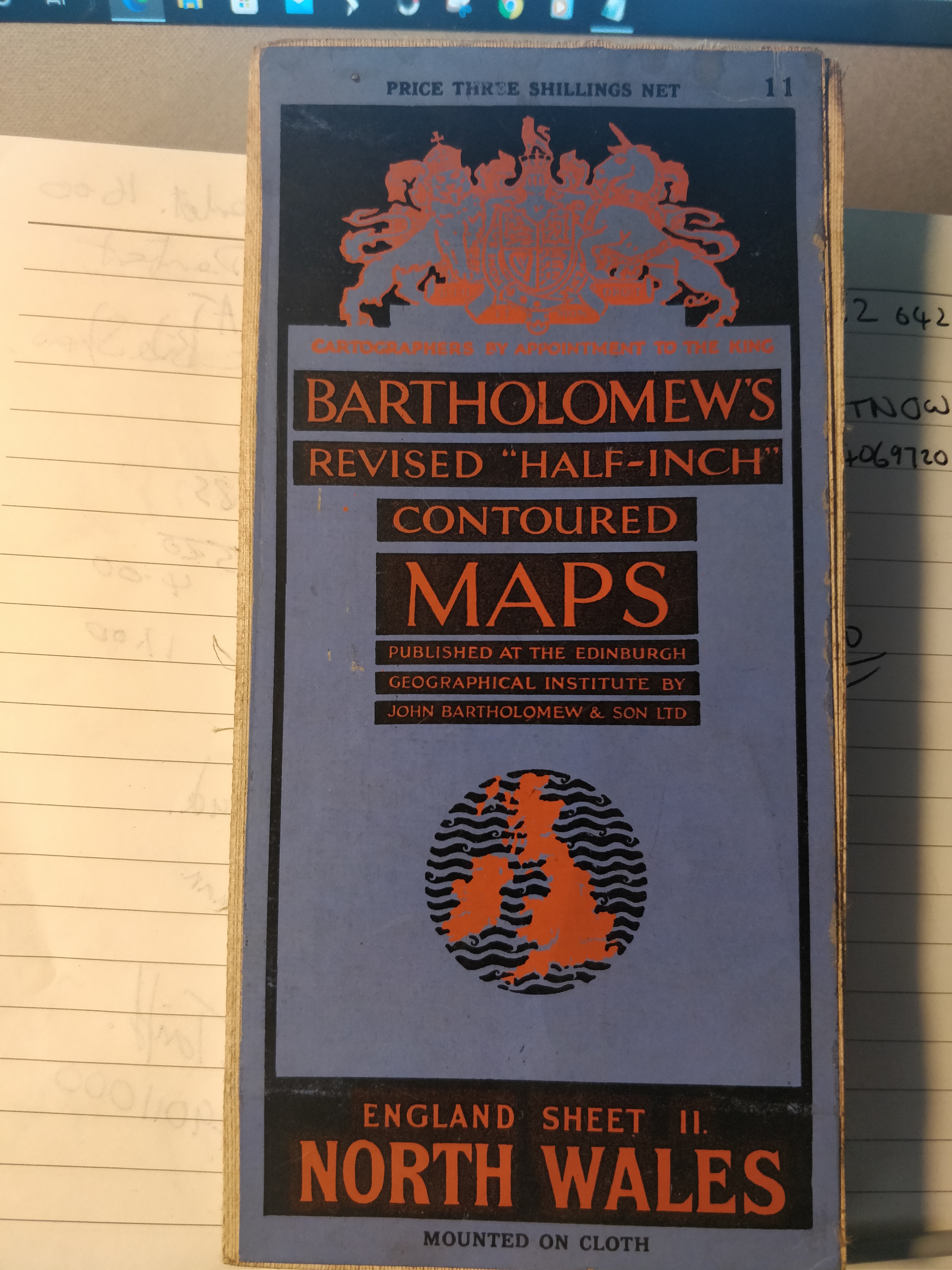
Bartholomews Revised “Half-Inch” Contoured Maps England Sheet 11 NORTH WALES
Mounted on Cloth Revision Date 1935
Price includes UK Posting – For other postal rates to more distant locations please contact me.
£4.00
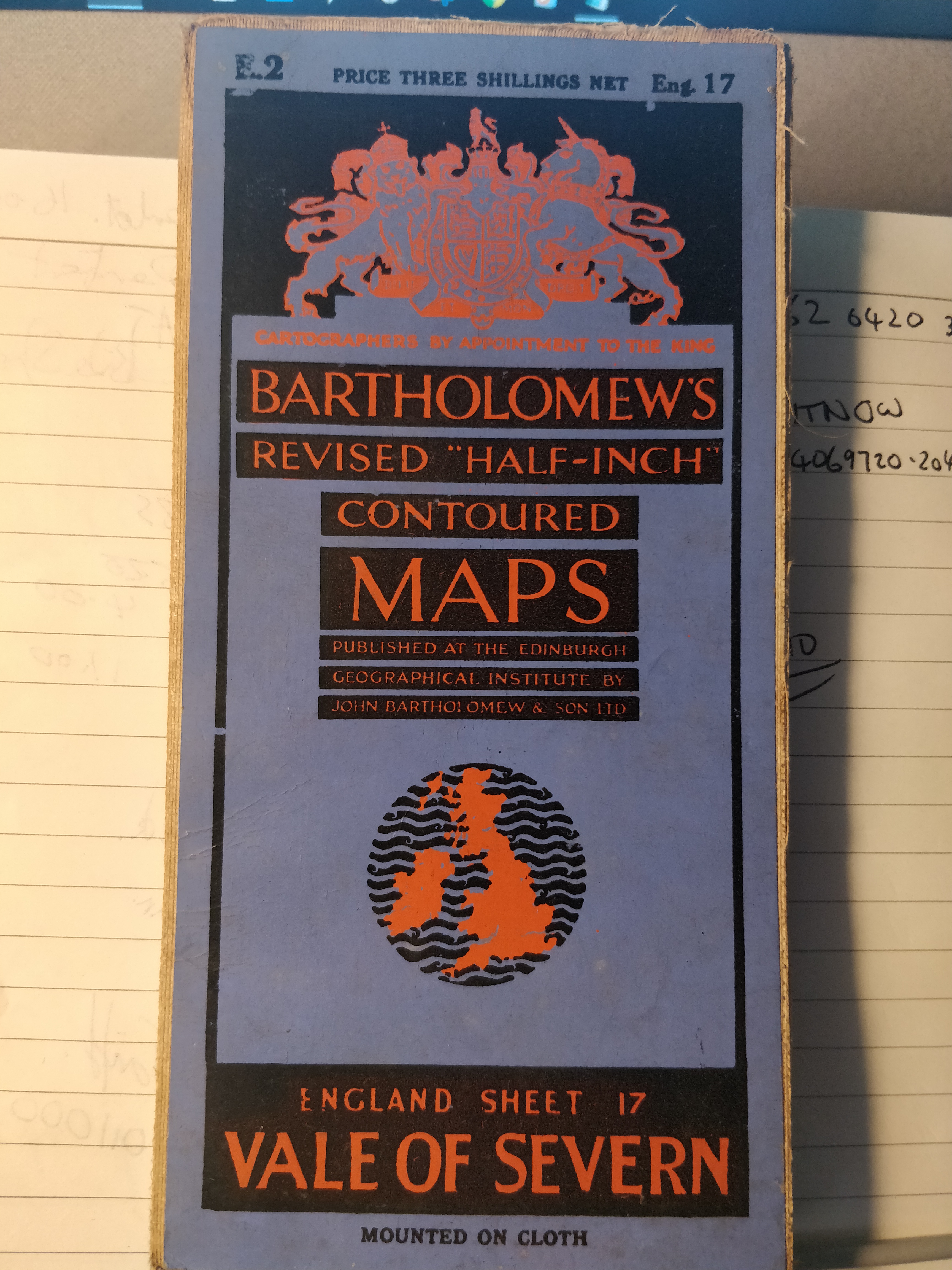
Bartholomews Revised “Half-Inch” Contoured Maps England Sheet 17 VALE OF SEVERN
Mounted on Cloth 1936
Price includes UK Posting – For other postal rates to more distant locations please contact me.
I will apply a discount for simultaneous purchases, If I remember.
£4.00
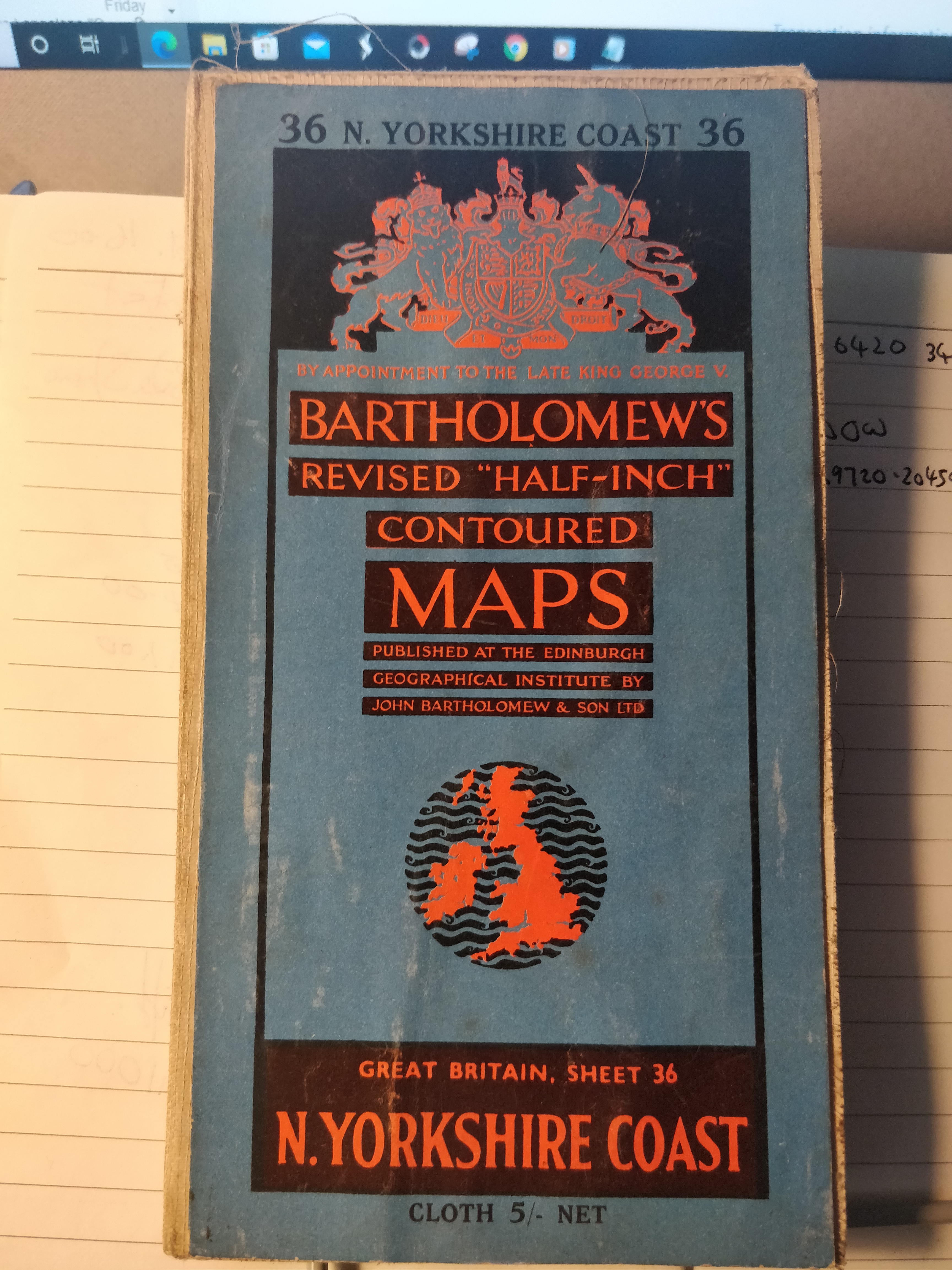
Bartholomews Revised “Half-Inch” Contoured Maps England Sheet 36 N.YORKSHIRE COAST
Cloth July 1955
Price includes UK Posting – For other postal rates to more distant locations please contact me.
I will apply a discount for simultaneous purchases, If I remember.
£4.00
Bacon’s Motoring and Cycling Road Map SCOTLAND
On Cloth – I can’t see a date or scale.
Price includes UK Posting – For other postal rates to more distant locations please contact me.
I will apply a discount for simultaneous purchases, If I remember.
£3.00
“Geographia” Beautiful Britain – CORNWALL
Cloth – 2 1/2 miles to 1 inch I can’t find a date
Price includes UK Posting – For other postal rates to more distant locations please contact me.
I will apply a discount for simultaneous purchases, If I remember.
Cloth undated South East corner of UK
Price includes UK Posting – For other postal rates to more distant locations please contact me.
£3.00
The RAC County Road Map and Gazetteer – Number 27 – Central Scotland
Undated but I think 1930. 104 pages, coloured maps, Gazetteer with many photographs and line drawings plus some fantastic period adverts. Staples starting to rust, middle pages loose.
Through the post to any UK address
£4.00
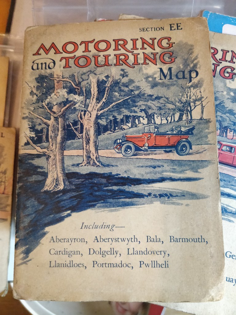
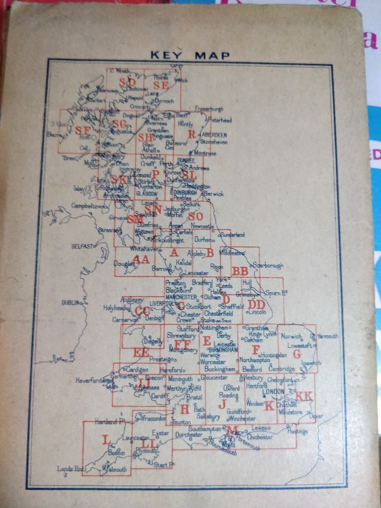
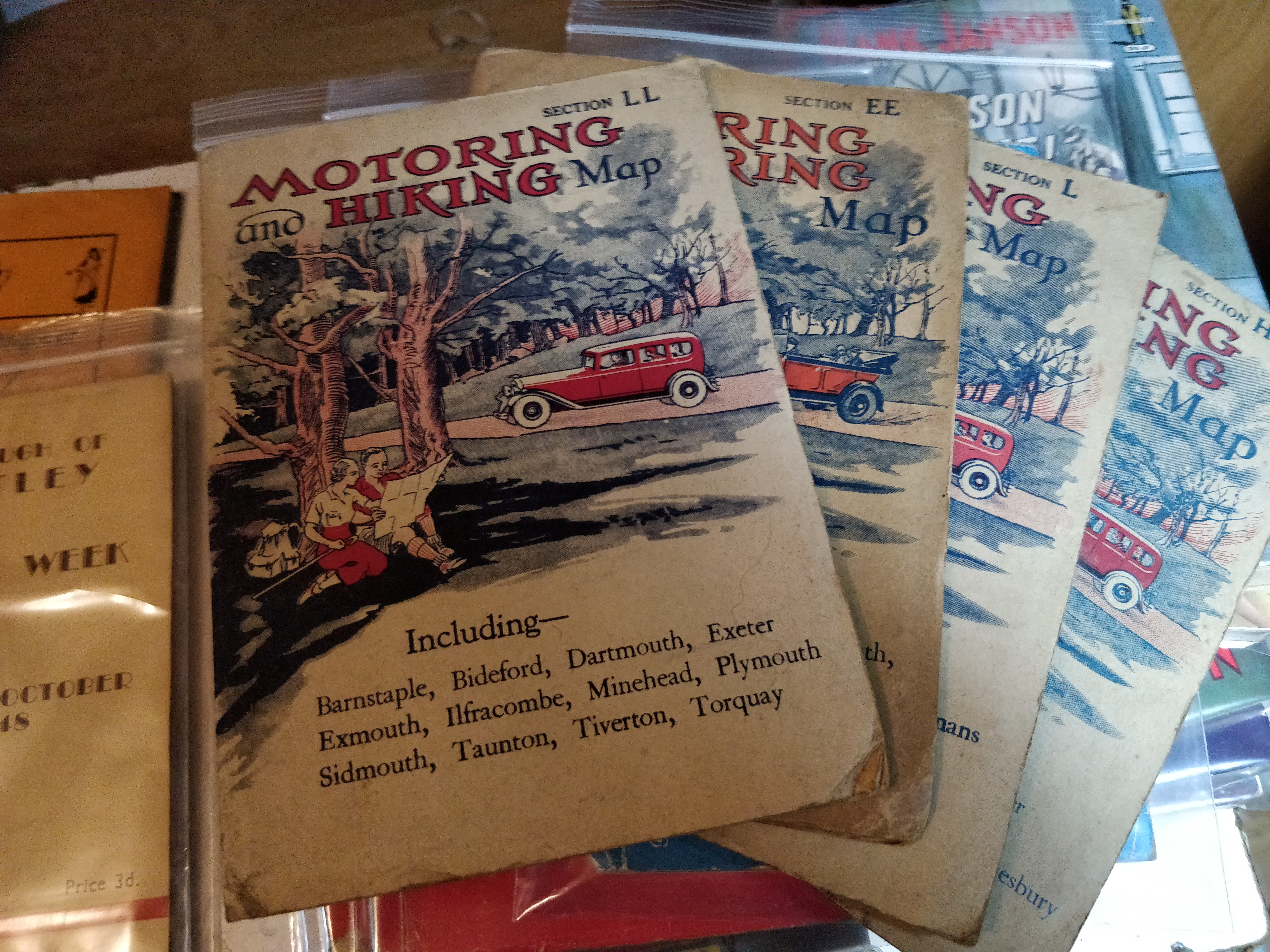
Motoring and Touring Map
2 Motoring and Hiking and 2 Motoring and Touring Maps LL,EE,L,H
Undated but I would guess mid 30’s covering South West and part of Wales.
All four including UK Postage £7.50
£7.50
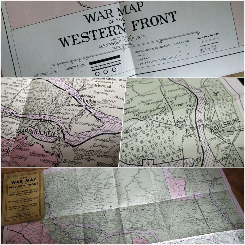
New War Map of the Western Front
New War Map of the Western Front
Geographers’ Map Co., LTD.
The Only Map Showing the actual fighting are on a very large scale. 3 3/4miles to one inch.
Position of Maginot and Siegfried Lines. Price 6d each.
It seems expensive for WWI but it is undated with no indication that it is a reprint. Marks to the rear cover but the map is complete and clean.
I am not familiar with maps but this seems to hold some interest so I am asking £10.00
War Map
P&P free in UK
£10.00
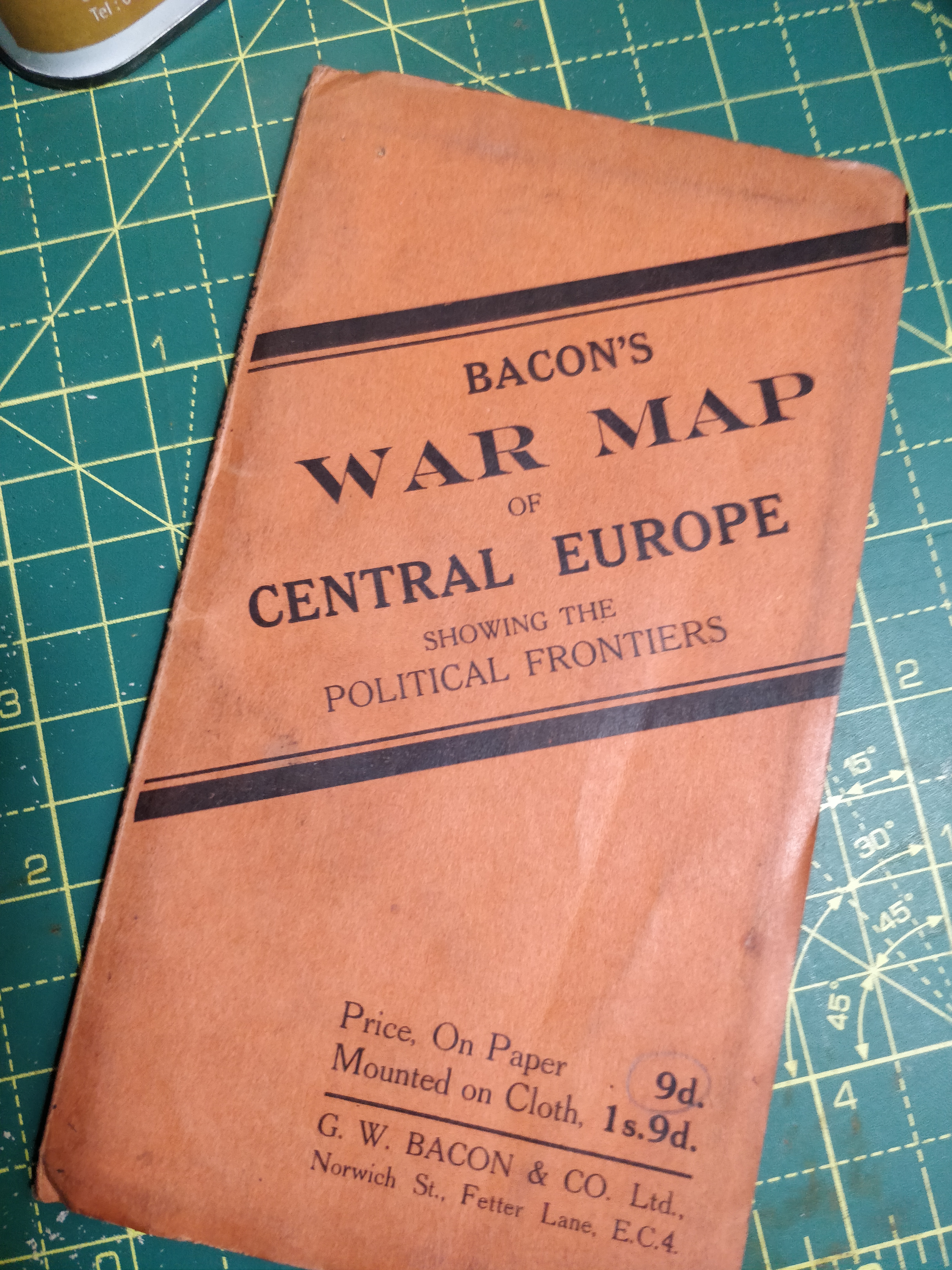
Bacon’s War Map of Central Europe Showing the Political Frontiers
Undated but obviously 1940’s This is the paper edition
Price includes UK Posting – For other postal rates to more distant locations please contact me.
£2.50
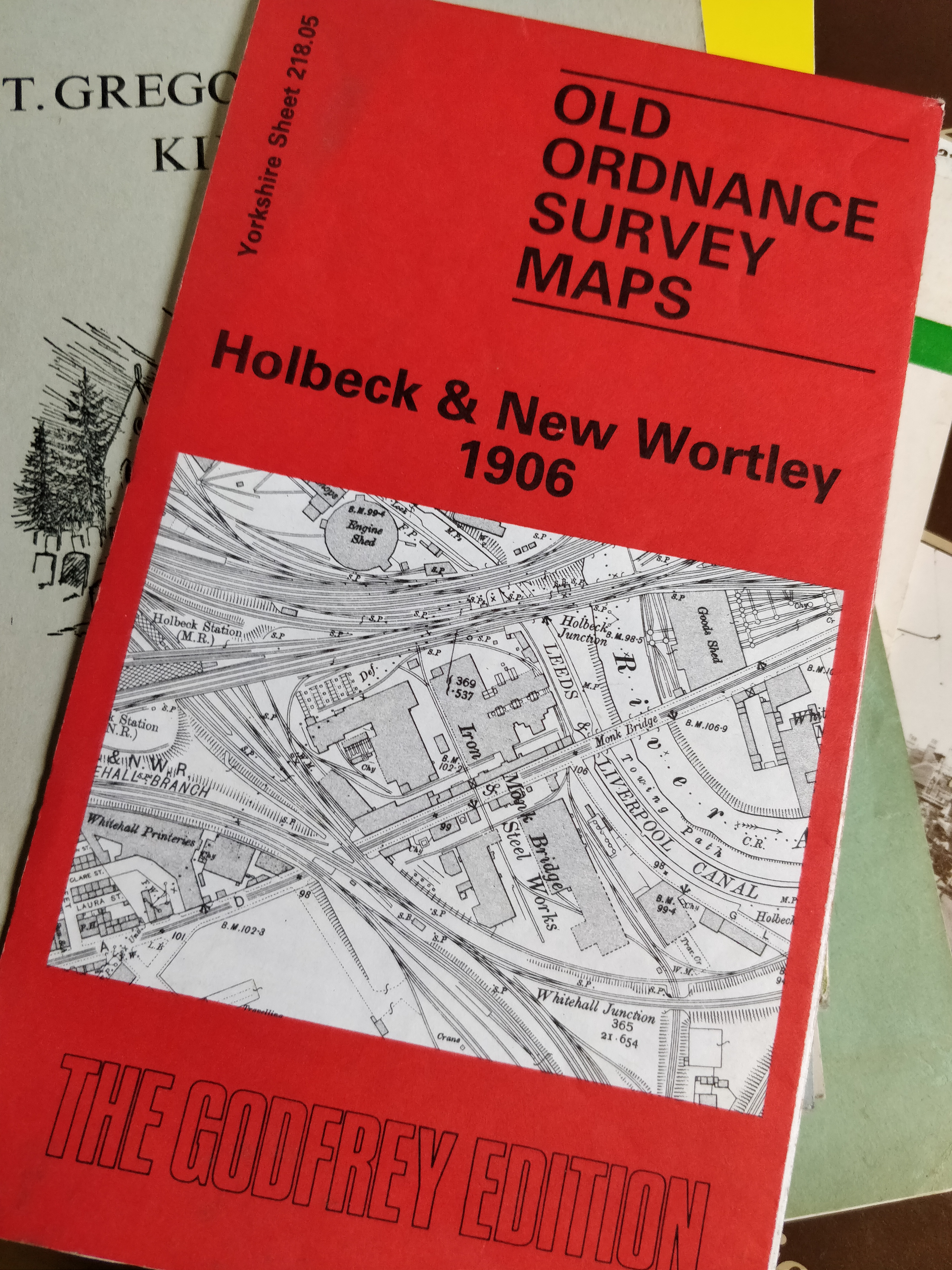
Holbeck & New Wortley – Old Ordnance Survey Map
Yorkshire Sheet 218.05 The Godfrey Edition
Price includes UK Posting – For other postal rates to more distant locations please contact me.
£4.00
Bradford (Frizinghall & Heaton) 1906 – Old Ordnance Survey Maps
The Godfrey Edition Yorkshire Sheet 201.15
Price includes UK Posting – For other postal rates to more distant locations please contact me.
£4.00
Bacon’s County Map of Yorkshire
on cloth undated 5 miles to one inch
Price includes UK Posting – For other postal rates to more distant locations please contact me.